
White Rim Road exists because of a mineral almost nobody found there. In the 1950s, the Atomic Energy Commission, racing to build up America's nuclear arsenal, offered prospectors bonuses and inflated prices for any uranium find, and miners answered by hand-building roughly a thousand miles of road across southeast Utah with bulldozers, picks, and shovels. The hundred-mile loop below Island in the Sky's rim was one result.
The uranium mostly wasn't there. The Park Service says plainly that the mines built along the White Rim specifically produced very little ore, and all of them were eventually abandoned. What survived the failed boom was the road itself, and today it's one of the most sought-after four-wheel-drive and mountain-biking routes in the country, booked out months in advance by people chasing exactly the isolation the miners were trying to get paid to leave.
A Cold War Road That Missed Its Own Point
The National Park Service's own account of the era is direct about the irony: miners working largely alone, bulldozing roads across country that had never seen a vehicle, "blazed the trail" for what eventually became Canyonlands National Park in 1964, a decade after the uranium rush that built the roads had already fizzled out. The road didn't get built because someone planned a scenic route. It got built because the federal government wanted nuclear material badly enough to subsidize a search that came up mostly empty in exactly this stretch of desert.
What the Drive Actually Involves
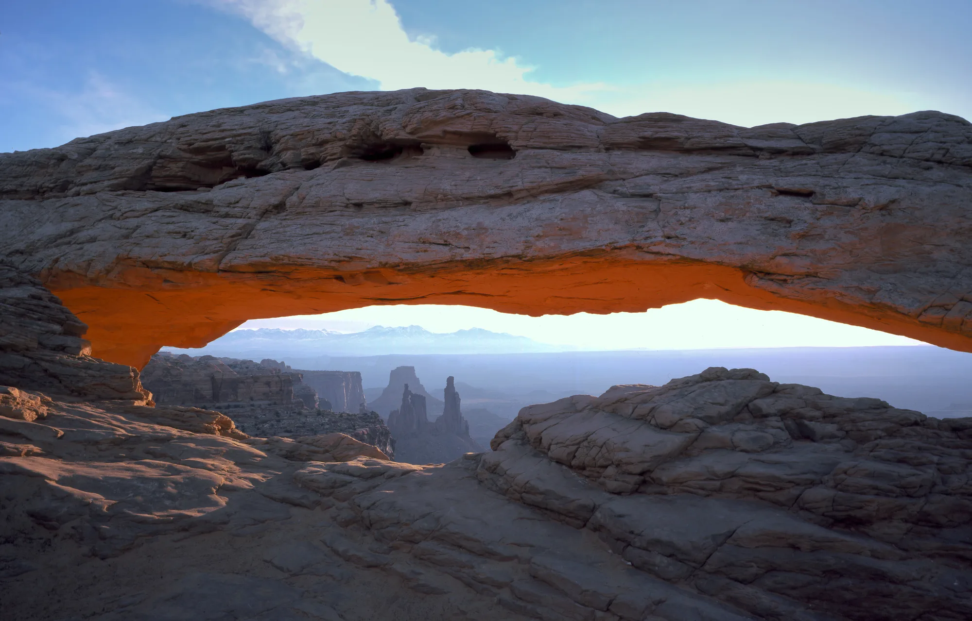
The National Park Service describes the loop as a hundred miles circling below the Island in the Sky mesa top, though a more technical park roads document puts the core route between two of its main junctions closer to seventy one miles, with the rounder figure including spur roads out to campsites and viewpoints. Four-wheel-drive trips typically take two to three days to complete, and mountain-bike trips, which usually require a support vehicle since no water exists at any campsite along the way, typically take three to four. Ten designated campsite areas are spaced along the route, with names like Murphy Hogback, Candlestick, and Potato Bottom marking a road that was never built with a tourist's schedule in mind.
Plan Your Canyonlands Visit
White Rim permits go fast in spring and fall. The trip planner can help you time a booking window months out.
Open the Trip PlannerThe Permit Chase
The Park Service states outright that "all trips along the White Rim require a permit," and that overnight campsite reservations are "very competitive," recommending visitors book up to four months ahead of a given season, since demand in spring and fall frequently exceeds the number of sites available. Day-use permits, by contrast, can be booked as little as twenty four hours in advance for parties not planning to camp along the route. It's a strange inversion worth sitting with: a road built because the government urgently needed something from this land now requires patience and planning most visitors never think to associate with a stretch of desert this remote.
The Landmarks That Make the Drive
The Park Service names the route's toughest sections directly: the Shafer Trail, Lathrop Canyon Road, Murphy Hogback, Hardscrabble Hill, and the switchbacks at Mineral Bottom, each one a real driving challenge rather than a scenic name. Along the way sits Musselman Arch, a flat-topped natural span wide enough to walk across, one of the most photographed stops on the entire route, along with Fort Bottom Ruin, an Ancestral Puebloan structure that predates every part of this story by centuries. None of it was on the miners' minds when they cut this road. All of it is why the permits are gone months before anyone actually drives it.
- Road built 1950s, URANIUM ERA
- Loop length ~100 MI
- 4WD trip length 2-3 DAYS
- Overnight permit window UP TO 4 MONTHS
Facts and figures checked against the National Park Service's White Rim Road, biking, and backpacking pages, and NPS's own article on the region's uranium-mining history. NPS's public pages round the loop's length to "one hundred miles," while a more technical roads document gives a shorter core-route figure; we've presented both rather than pick one as definitively correct.
Somewhere on the Murphy Hogback, grinding a mountain bike or a truck over ground a prospector once bulldozed by hand chasing a payday that never came, it's worth remembering what this road was actually for. Nobody built it so a visitor could photograph Musselman Arch at sunset. They built it hunting material for weapons, found almost none of what they came for, and left behind, by accident, one of the best multi-day routes in the American desert.