
Drive the Tamiami Trail today and it feels like any other two-lane Florida highway, sawgrass on both sides, the occasional airboat sign. What's underneath it is a wall. Built in 1928 with roughly three million sticks of dynamite, the road's raised bed ran straight across the historic path of the Everglades' water, and for the better part of a century it worked exactly like a dam, whether anyone meant it to or not.
The fix, still underway, is one of the largest and strangest engineering projects in the country: cutting holes in a highway that's still in daily use, one bridge span at a time, to let a river flow through it again. The early results surprised the people running the project. When the first bridge opened, the water flowing south into the park increased about eighty percent more than the engineers had predicted.
Building the Trail, 1917 to 1928
The Tamiami Trail (the name is a contraction of Tampa and Miami, the two cities it connects) opened to traffic on April 26, 1928, after more than eleven years of construction and roughly seven million dollars spent. Crews used an estimated three million sticks of dynamite in Collier County alone to blast a stable roadbed out of limestone bedrock and wetland muck, piling the excavated rock up into a raised highway running east to west across the lower Everglades. At the time, it was treated as a triumph of engineering over an unforgiving landscape. Nobody involved was thinking about water flow.
The Cork in the Bottle
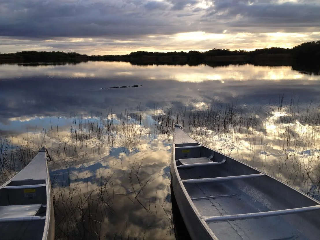
The National Park Service has its own blunt name for what happened next: "the cork in the bottle." The eastern stretch of the Trail, roughly ten and a half miles between two flood-control levees, sat directly across the mouth of Northeast Shark River Slough, the main channel carrying water south into what's now Everglades National Park. With nowhere to go, water backed up on the north side of the road and starved the park side of it, a slow-motion drought that raised wildfire risk and let invasive plants take hold where natural flooding used to keep them out. The Comprehensive Everglades Restoration Plan, authorized by Congress in 2000 as a joint federal and state effort, named fixing the Trail as one of its first priorities, out of more than sixty separate projects across the broader plan.
Plan a Shark Valley Stop
The restored flow runs right past Shark Valley's observation tower and tram loop. The trip planner can help you fit it into a Tamiami Trail drive.
Open the Trip PlannerCutting Holes in a Working Highway
The first fix was a single bridge, one mile long, built to let water pass underneath the Trail instead of pooling against it, completed and opened to traffic in 2013. A second phase added another 2.6 miles of bridging by around 2019. Measured together, the two spans increased water flow into the park by roughly eighty percent more than engineers had projected, enough that planners shifted their remaining strategy toward cheaper culverts instead of building still more bridge. "Adding more bridge span didn't increase water flow that much more," NPS project manager Charles Borders said, explaining the change, noting that culverts could solve the remaining distribution problem for about half the cost.
- Original road completed APR 26, 1928
- One-Mile Bridge opened 2013
- Second bridge phase 2.6 MI, ~2019
- Flow increase over forecast ~80%
Still Not Finished
A further phase, raising and reconstructing an additional 6.7 miles of the eastern Trail with built-in water-conveyance features, began construction in November 2020. Once finished, the National Park Service has said, it should let water flow into the park more freely than at any point since the early 1900s, rehydrating more than a million acres and helping stabilize salinity in Florida Bay. The broader restoration plan marked its twenty-fifth anniversary this year. Adam Telle, Assistant Secretary of the Army for Civil Works, called the wider project now underway "a modern American mega-project," language that fits a plan whose original 2000 cost estimate of 8.2 billion dollars has grown substantially since, through later revisions and inflation, without ever being replaced by one settled final number.
Facts and figures checked against the National Park Service's account of the Tamiami Trail reconstruction, its project pages on the Next Steps bridging phases, and public statements from the Comprehensive Everglades Restoration Plan's federal and state partners. Where a precise current total program cost couldn't be confirmed, we said so rather than guess.
Stand on the shoulder of the Tamiami Trail today, and the difference isn't dramatic to look at. Sawgrass on both sides, the same as it's looked for a century. But water is now moving under your feet that spent eighty years pooling uselessly on one side of a road, and it's moving through the exact gaps engineers cut for it, gaps that let through more water than their own models predicted. The dynamite built a wall in 1928. It's taken a hundred years and a series of bridges, most of them just a mile or two long, to start taking it back down.