
Everglades City sits at the end of the pavement, and past it there's nothing but water and green for as far as a boat can reasonably go. This is the Ten Thousand Islands, a coastline made almost entirely of mangrove, where the same channel can look identical from three different directions and the tide can undo an afternoon's navigation in about twenty minutes. People do paddle across the whole thing. It usually takes them the better part of a week and a half.
The name overpromises. Nobody has ever counted ten thousand actual islands out there, and the real number is in the hundreds, most of them just a mangrove-topped sandbar with no name and no trail. What the name gets right is the feeling of an unmappable maze, one that took modern surveyors and satellite photography to finally chart with any confidence, in a landscape people had already been navigating by memory for thousands of years.
How a Coastline Becomes an Island Chain
The Ten Thousand Islands stretch along roughly thirty-five thousand acres of Gulf Coast between Cape Romano and the Lostmans River, split between a national wildlife refuge on the northern end and Everglades National Park to the south. They form two ways: some are natural high points on a coastline that's slowly sinking relative to sea level, and others started as oyster bars that mangroves colonized and built up over time, root by root, until they became solid enough to call land. Nearly every one of them is uninhabited. The single exception is Chokoloskee, a small residential island connected to the mainland by a causeway, home to a few hundred people in a landscape that otherwise belongs entirely to birds, fish, and the tide.
The Wilderness Waterway
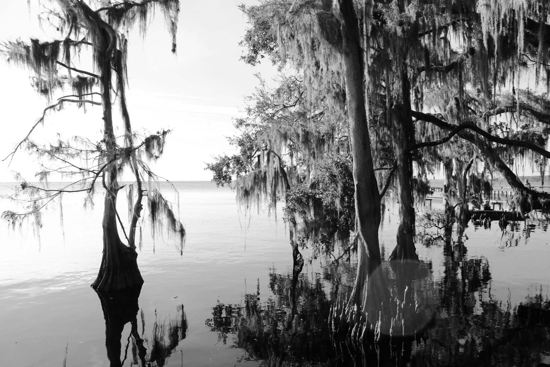
The Wilderness Waterway is a marked, ninety-nine-mile canoe and kayak route running the full length between Flamingo, on the park's southern tip, and Everglades City, on the Gulf side. The National Park Service recommends it for experienced paddlers only, and the reasons are all visible the moment you're on the water: mangrove creeks and bays that look nearly identical to each other from every angle, shallow water that turns to mud at low tide, and stretches passable only when the tide is actually running in your favor. Most paddlers who complete the full route plan for at least eight days, and a one-way trip means arranging a vehicle shuttle in advance, since there's no way to simply turn around partway through and drive back to where you started.
- Total distance 99 MI
- Typical trip length 8+ DAYS
- Ten Thousand Islands area ~35,000 ACRES
- Year-round residents CHOKOLOSKEE ONLY
Plan a Backcountry Paddle
The Wilderness Waterway isn't a casual afternoon trip. The trip planner can help you scope a shorter piece of it or plan for the full crossing.
Open the Trip PlannerWhat the Mangroves Are Actually For
Three mangrove species grow here, red, black, and white, and together they form what the National Park Service calls the largest contiguous stand of protected mangrove forest in the entire Western Hemisphere. They're a nursery for fish species that matter well beyond the park's boundaries, and their tangled root systems are the first thing a hurricane's storm surge has to fight through before it reaches anything else.
Hurricane Irma made landfall here in 2017 and destroyed an estimated forty percent of the park's mangroves, leaving behind stands of standing dead wood and a seagrass crisis in Florida Bay that took years to recover from. Hurricane Ian arrived in 2022 with comparable strength and left the mangroves largely intact. "What we saw with Ian was not as much wind damage," said Steve Davis, chief scientist at the Everglades Foundation. "In fact, there was very little wind damage at all." The difference wasn't luck so much as geometry, wind direction and storm track mattered, but researchers also point to the resilience the forest itself has built back since Irma, one hurricane's worth of scar tissue already doing its job by the time the next one arrived.
The Calusa Were Here First
The Calusa people occupied this coast for centuries before European contact, building large planned settlements out of piled oyster shell, some tall enough to function as platform mounds for houses and gathering space. One surviving feature, the Mud Lake Canal, is a nearly four-mile prehistoric canoe channel dug by hand sometime between roughly 750 and 1200 AD, one of the few such canals still intact anywhere in North America and a National Historic Landmark since 2006. Centuries later, in 1917, a trader named Ted Smallwood built a store and post office on Chokoloskee that still stands today as a museum, a single fixed point of history in a landscape that otherwise erases its own footprints with every incoming tide.
Facts and figures checked against the National Park Service's pages on the Wilderness Waterway and the park's mangrove ecology, the Calusa archaeological record documented by NPS, and reporting on Hurricane Irma's and Hurricane Ian's differing impacts on the park's mangrove forest.
Paddle far enough into the Ten Thousand Islands and the count stops mattering. What matters is the next channel, which looks exactly like the last one, and the tide, which is quietly rewriting the map while you decide which way to turn. The Calusa read this place well enough to build canals through it by hand a thousand years before anyone had a chart. The mangroves read the weather well enough to still be standing after one hurricane nearly took the whole forest down. Ninety-nine miles end to end, and not one of them goes in a straight line.