
Stand at the base of the dunes and you're in desert, low and dry, sand underfoot in every direction. Look up, and less than twenty miles away, the same park boundary holds alpine tundra above 13,000 feet, snow lingering into summer on peaks that never see the sand at all.
Five Ecosystems, One Boundary
Great Sand Dunes National Park and Preserve spans an elevation range of roughly 6,000 feet, from the valley floor around 7,500 feet up to peaks in the Sangre de Cristo range above 13,000 feet, and the National Park Service counts five distinct ecosystems within that range: the dunefield itself, grassland and shrubland on the valley floor, wetlands fed by mountain streams, montane forest on the lower slopes, and alpine tundra at the highest elevations.
That range is why the park's species list looks less like a desert park's and more like two or three parks stitched together. Elk and bighorn sheep move through the montane and alpine zones; kangaroo rats and other sand-adapted species live nowhere else in the park but the dunefield itself, including several insect species found only here.
Plan Your Great Sand Dunes Visit
Pack for desert heat and alpine cold on the same trip. The temperature swing between the dunes and the peaks is real.
Open the Trip PlannerThe Creek That Keeps the Sand in Place
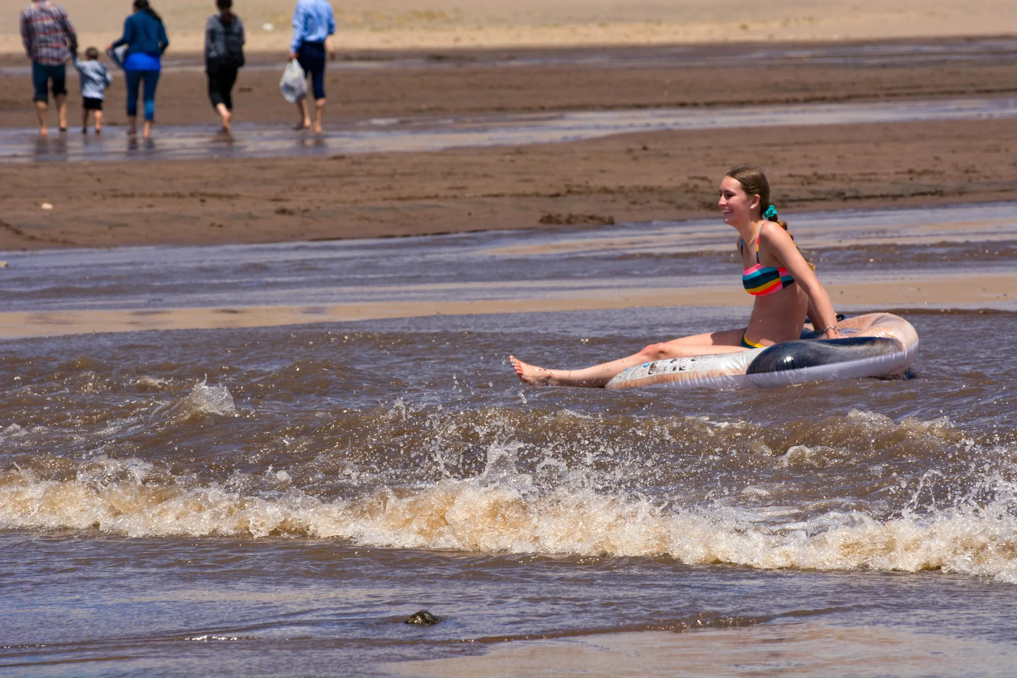
Medano Creek runs along the eastern edge of the dunefield each spring, fed by snowmelt from the Sangre de Cristo peaks above, and it does more than give visitors a place to wade. The creek's seasonal flow helps recycle sand back toward the dunefield, part of the reason this dune system holds together instead of slowly scattering into the surrounding grassland the way an unanchored dune system would.
That water cycle links every zone in the park together, tundra snowpack, mountain streams, valley wetlands, and the dunes themselves, into a single system that depends on each part functioning. It's an odd thing to realize standing in warm, dry sand: the reason the dunes exist at all is a creek fed by snow from peaks you can see but probably won't reach on the same visit.
- Elevation range ~7,500 TO 13,000+ FT
- Distinct ecosystems FIVE
- Medano Creek flow PEAKS IN LATE SPRING
- Sand-endemic species SEVERAL, FOUND NOWHERE ELSE
Elevation range, ecosystem count, and Medano Creek's role in the dune system checked against National Park Service materials for Great Sand Dunes National Park and Preserve. Species information reflects NPS's own descriptions of sand-endemic and montane wildlife within the park.
Most visitors come for the dunes and leave having seen only the lowest, driest slice of what the park actually protects. The tundra above, the wetland at the base, the forest in between, none of it shows up in the postcard shot, but all of it is why the postcard shot exists at all: without that water cycling down from 13,000 feet, there's no dune to climb in the first place.