
No permit, no technical gear, no guide required. Lassen Peak is one of the few genuinely active volcanoes in the country a hiker can summit on a regular maintained trail, and the whole round trip runs about five miles.
Five Miles, Under Two Thousand Feet of Climbing
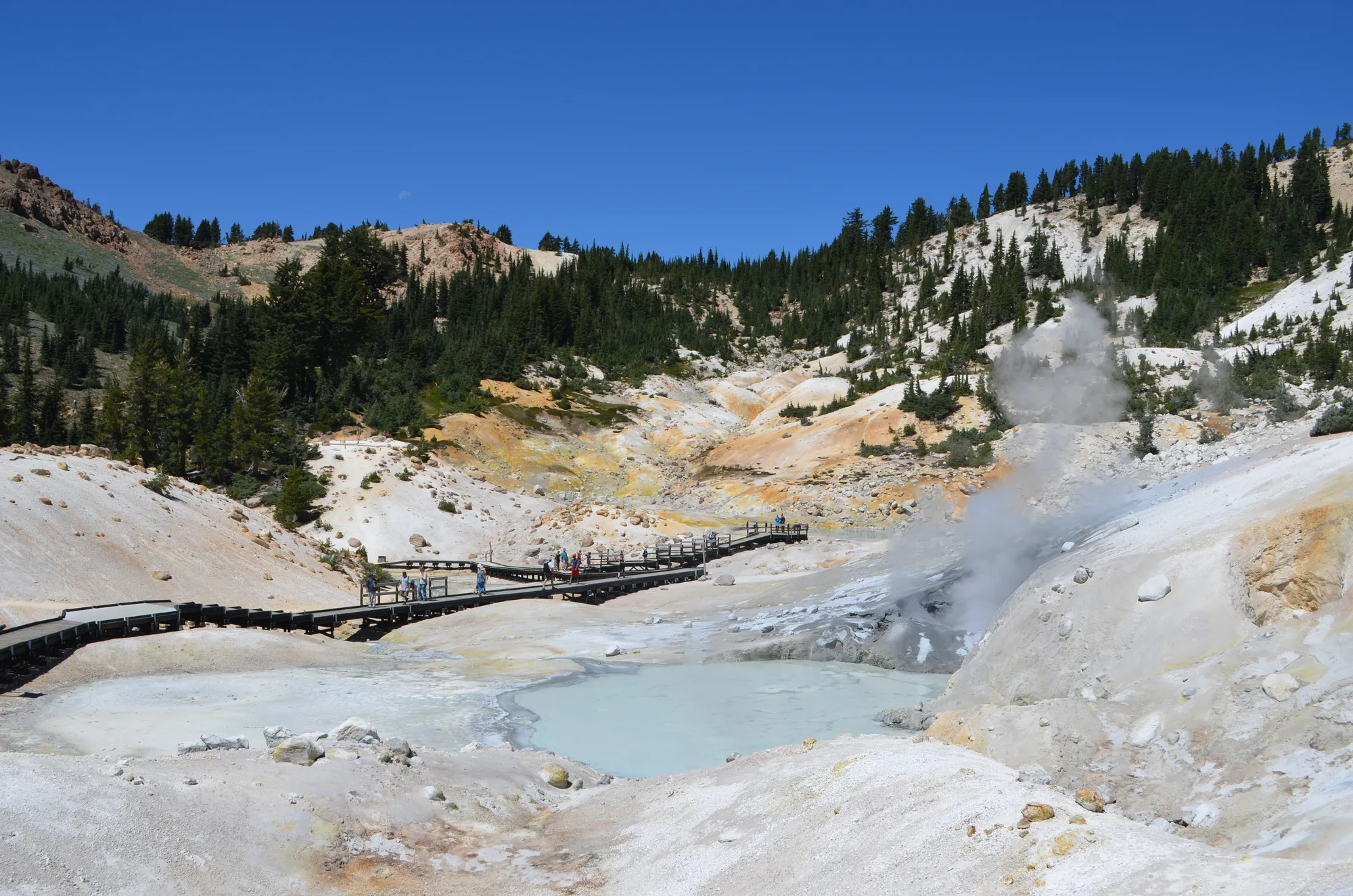
The Lassen Peak Trail runs five miles round trip from a trailhead at 8,500 feet, climbing 1,957 feet to the 10,457-foot summit over a series of switchbacks. Most hikers cover it in four to five hours. It's a real climb, but not a technical one: no ropes, no permit, nothing beyond a trailhead parking area and a maintained path.
The one honest caveat comes straight from the National Park Service: snow can linger on the peak well into summer, and the agency states plainly that snow is possible in any month of the year. The trail typically doesn't open in full until late June and closes again once heavy snow returns in October or November, so a summer date is not automatically a guaranteed clear trail.
Plan Your Lassen Visit
Check trail conditions before you go, and build the Lassen Peak hike into a full park itinerary.
Open the Trip PlannerMount Shasta, Eighty Miles North
On a clear day, the summit view reaches Mount Shasta, roughly eighty miles to the north, along with the 1915 mudflow path and Prospect Peak's shield-volcano profile to the northeast, the same shield volcano that gives Lassen one of its four volcano types. It's a rare vantage: standing on an active plug dome, looking across at another one of the Cascades' major peaks, with the visible aftermath of Lassen's own last eruption spread out below.
- Round trip 5 MILES
- Elevation gain 1,957 FEET
- Summit elevation 10,457 FEET
- Typical season LATE JUNE TO OCT/NOV
Trail distance, elevation gain, summit elevation, and snow-safety guidance checked against the National Park Service's own Hike Lassen Peak page. The typical late-June-to-fall opening window is well corroborated but not pulled directly from a live NPS conditions page in this pass, so it's worth a quick check against the park's current trail-conditions page before a trip.
Most active volcanoes don't let you stand on top of them without months of planning and specialized gear. Lassen Peak does, on a trail anyone in reasonable shape can walk in an afternoon, weather and snow permitting. The mountain has been dormant since 1917. It hasn't gotten any less real.