
In 1963, a chunk of Little Tahoma Peak broke loose and slid onto the Emmons Glacier below, dumping rock and rubble across roughly a third of the ice. Any normal glacier would have kept doing what glaciers do under a warming climate: shrinking. The Emmons did something else. The rock debris acted like a blanket, insulating the ice underneath from summer sun, and through the 1970s and into the early 1980s, the Emmons Glacier advanced. It took a landslide to make an ice sheet grow.
That's Mount Rainier's glaciers in miniature: twenty-six of them, more collective ice than any other single peak in the contiguous United States carries, each one behaving less like a single predictable thing and more like its own small, stubborn ecosystem.
The Most Glaciated Peak in the Lower 48
Mount Rainier carries more glacial ice than any other single peak in the contiguous United States: twenty-six named glaciers plus roughly thirty-six square miles of permanent snowfield draped across its upper slopes. Most were named in the late 1800s and early 1900s by the surveyors and mountaineers who first mapped the peak, and most have been retreating for decades, tracking the same warming trend affecting glaciers worldwide. A handful, including the Stevens, Pyramid, and Van Trump glaciers, have already disappeared entirely in recent years, reduced to permanent snowfields or nothing at all.
What's left ranges from small hanging ice fields barely worth naming to genuine rivers of ice thousands of feet long, each one a slightly different case study in how a glacier actually behaves.
The Glacier a Landslide Fed
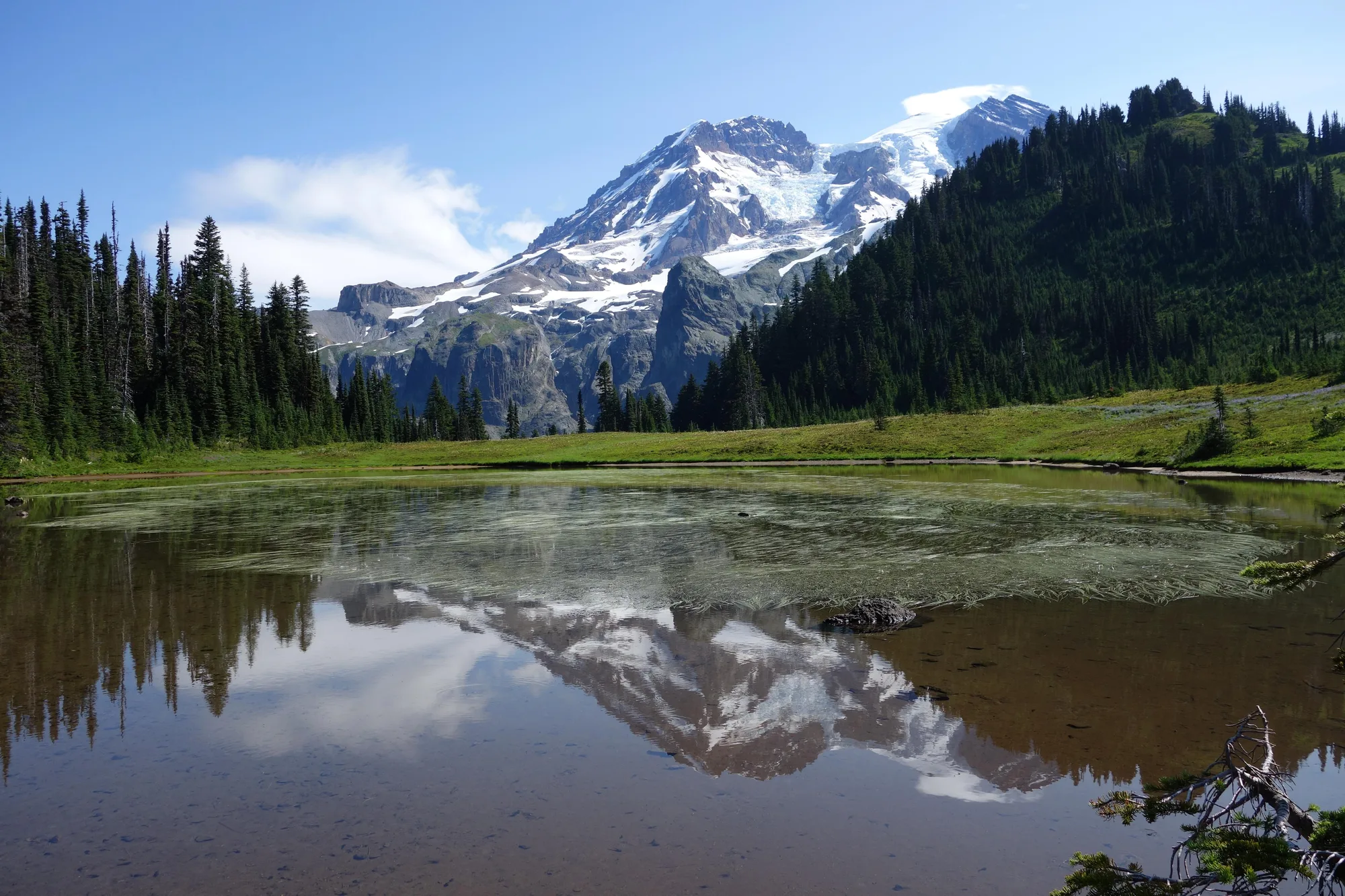
At 4.3 square miles, the Emmons Glacier is the largest glacier by surface area anywhere in the contiguous United States, spilling down Rainier's northeast flank from above 13,800 feet to around 5,100 feet, where it joins the Ingraham Glacier near the Disappointment Cleaver climbing route. It's named for Samuel Franklin Emmons, a geologist who surveyed the mountain in 1870, decades before the park existed.
The 1963 rockslide from Little Tahoma Peak remains the glacier's strangest chapter: a debris layer thick enough to insulate the ice caused a real, measurable advance through the early 1980s, a glacier gaining ground while its neighbors retreated, purely because it got buried in rock at the right moment. By 2003, that advantage had run out and Emmons resumed retreating like the rest.
See the Ice Up Close
Burroughs Mountain and the Nisqually Vista Trail both put a glacier within easy reach. The trip planner routes both into one visit.
Open the Trip PlannerThe Lowest, Thickest Glacier in the Lower 48
The Carbon Glacier's snout ends at roughly 3,500 feet above sea level, the lowest-elevation glacier terminus anywhere in the contiguous United States, low enough that hikers reach it through actual old-growth forest rather than the exposed alpine rock most glaciers sit in. At its thickest, the ice runs about 700 feet deep, and among Lower 48 glaciers outside Alaska it holds three separate superlatives at once: the greatest length, the greatest thickness, and the greatest total volume of any glacier in the contiguous states, fed by a cirque over a mile wide, the largest in the Cascade Range.
It sits on Rainier's north side, in the mountain's own rain shadow, which is exactly why it survives at such a low elevation: less direct summer sun, more snow accumulation, in a spot most of the mountain's other glaciers don't have access to.
- Terminus elevation ~3,500 FT (LOWEST IN LOWER 48)
- Max thickness ~700 FT
- Length 5.7 MILES
The Glacier Scientists Have Watched the Longest
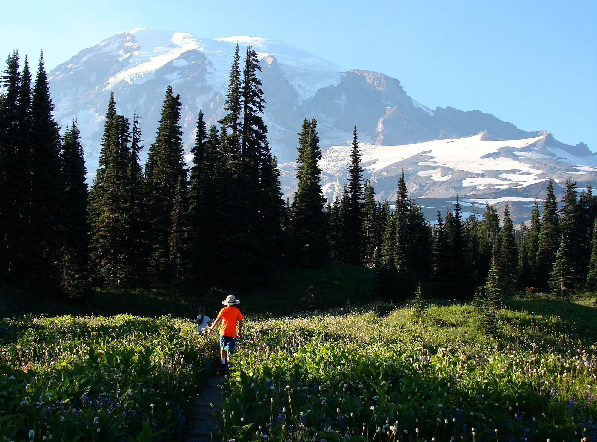
The Nisqually Glacier, the source of the river that shares its name and the water that eventually flows past Longmire, has had its terminus measured every year since 1918, one of the longest unbroken glacier monitoring records in the United States. That century of data tells a specific story: the glacier reached its largest extent around 1850, during the tail end of the Little Ice Age, then began a slow retreat that accelerated sharply after 1920. It covered 3.87 square miles in 1896; by 2021, that had shrunk to 1.58 square miles, and the glacier has been losing roughly nine feet of thickness a year since the mid-1980s.
It isn't a straight line down. The glacier actually advanced modestly through parts of the 1950s through 1980s, before resuming its retreat. A hundred years of watching one glacier this closely is what makes it possible to say that with any confidence at all.
Facts and figures checked against NPS.gov's Mount Rainier glacier monitoring program materials and published glaciological survey data for the Emmons, Carbon, and Nisqually glaciers.
The rockslide that buried part of the Emmons Glacier in 1963 is long gone now, worn back into ordinary rubble, and the glacier underneath it has gone back to shrinking like all twenty-five of its neighbors. For twenty years, though, it proved something worth remembering here: even a mountain's slowest, most predictable feature can still surprise you, given the right kind of accident.