
In 1917, National Park Service Director Stephen Mather sent three scientists north to check reports that old-growth coast redwoods were being logged at an alarming rate. Paleontologist John C. Merriam, zoologist Madison Grant, and paleontologist Henry Fairfield Osborn drove up the coast and found it was true, worse than the reports had suggested. What they founded the following year, in response to what they'd seen, took another fifty years to turn into the park you can visit today.
Redwood National Park wasn't created in one act of Congress and left alone. It was assembled from pieces, rescued piecemeal over five decades, and even after it existed on paper the boundary itself turned out to be wrong.
Three Scientists, One Devastated Coastline
Merriam, Grant, and Osborn founded Save the Redwoods League in 1918, the year after that investigative trip up the California coast. The timing wasn't a coincidence: commercial logging of old-growth coast redwood was already well underway, and the three men had just watched it happen firsthand. Over the following decades the League didn't wait for federal action. It bought land directly, piece by piece, well before there was any national park to put it inside of: roughly 9,400 acres that became Humboldt Redwoods State Park, 8,252 acres for Prairie Creek Redwoods State Park through the 1930s, and 4,280 acres for Jedediah Smith Redwoods State Park in 1944. In 1945 the League raised $5,000 to establish the National Tribute Grove. Every one of those acquisitions happened years, in some cases decades, before Redwood National Park existed at all.
By 1968, Most of the Forest Was Already Gone
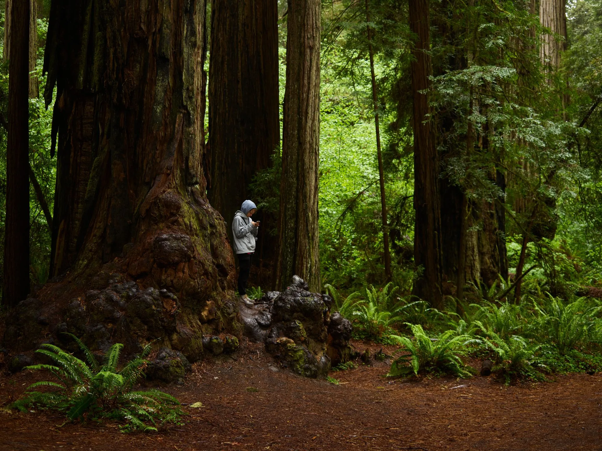
Redwood National Park was established by an act of Congress and formally dedicated on October 2, 1968. By then, decades of commercial logging had already taken most of the region's old growth: the National Park Service's own figures state that less than 5 percent of the historical old-growth coast redwood range statewide remains standing today, and that 80,000 of the roughly 120,000 acres now inside the park's boundaries had already been logged before any of it was protected. The state parks the League spent thirty years assembling weren't a backup plan. They were most of what still existed to protect by the time the federal government finally acted.
Plan Your Redwood Visit
The old-growth groves worth seeing span both the national park and three adjoining state parks. The trip planner can help you string them together in one trip.
Open the Trip PlannerProtecting the Trees Wasn't Enough
The 1968 park boundary left out most of the upstream Redwood Creek watershed, and through the 1970s continued clear-cutting on that unprotected land by Arcata Redwood Company, Georgia-Pacific, and Simpson Timber Company triggered severe erosion downstream, inside the park itself. Geologists Richard Janda and Robert Curry documented streambed aggradation in Redwood Creek severe enough to put the celebrated Tall Trees Grove at real risk of being buried in gravel during high water, and activists Lucille Vinyard and John Amodio pushed the resulting case politically until Congress responded. The 1978 expansion added roughly 48,000 acres to the park directly, plus a 30,000-acre upstream Park Protection Zone created specifically to regulate future logging near the watershed. It's described in the park's own administrative history as one of the most expensive land acquisitions the National Park Service had made to that point. Protecting the right trees, it turned out, had never been the same problem as protecting the right watershed, and it took a decade of active damage to force Congress to treat them as the same fight.
- Save the Redwoods League founded 1918
- Redwood National Park dedicated OCT 2, 1968
- Watershed-protection expansion 1978, +~48,000 AC
- Old growth once logged inside park ~80,000 OF ~120,000 AC
Why the Name Says "National and State Parks"
In 1994, the National Park Service and California Department of Parks and Recreation formally merged day-to-day management of the federal park with the three adjacent state parks the League had spent thirty years assembling: Jedediah Smith, Del Norte Coast, and Prairie Creek Redwoods. The agencies share staff and funding under a single general management plan, completed in 2000, which is why the park's full name is Redwood National and State Parks rather than just Redwood National Park. It's an unusual arrangement, a federal park and three state parks run cooperatively as one unit, and it exists because the state got there first, protecting land the federal government wouldn't formally organize into a park for another twenty-four years.
Save the Redwoods League's founding story and early acquisition figures checked against the League's own history page and corroborating public records. The 1968 dedication date and enabling legislation, the 1978 expansion and its cause, and the 1994 management merger are checked against the National Park Service's own Foundation Document and public anniversary materials. Total park acreage is cited inconsistently across sources currently online, from roughly 119,000 to 139,000 acres depending on the source and what's being counted, so we've avoided stating one precise figure as definitive. No dollar figure for the 1968 or 1978 land acquisitions is stated here, since we couldn't confirm one against a primary source.
Merriam, Grant, and Osborn drove up a coastline in 1917 expecting to confirm a rumor and found a forest actively disappearing instead. Everything that followed, the League's decades of land purchases, the 1968 dedication, the 1978 rescue of a watershed nobody had protected the first time, the 1994 merger of two governments' worth of parkland into one, traces back to that one trip. The old-growth still standing inside Redwood National and State Parks today is standing because that reaction never let up for fifty straight years.