
Roughly twenty-four thousand years ago, a lake covering something like sixteen hundred square miles sat in the closed Tularosa Basin, fed by ice-age rain and snowmelt running off the San Andres and Sacramento mountains on either side. Ancestral Lake Otero had nowhere to drain. Every bit of gypsum the water dissolved out of those mountains stayed right where the lake left it, concentrating as the water slowly evaporated.
By around twelve thousand years ago, the lake was mostly gone, leaving behind a dry playa loaded with gypsum and a process still running today that has since built the largest gypsum dune field anywhere on the planet.
Where All This Gypsum Actually Came From
Rain and snowmelt off the surrounding mountains dissolved gypsum and salt out of the rock and carried it down into the basin, and because the Tularosa Basin has no outlet to the sea, none of it ever washed away. As the ice age ended and the region's climate dried, ancestral Lake Otero shrank down to what's left of it today, Lake Lucero, and the larger dry expanse of Alkali Flat, both loaded with the gypsum that used to be dissolved in a lake nearly the size of the state of Delaware.
From Selenite to Sand, One Freeze at a Time
Beneath the clay and silt of the playa, gypsum-rich groundwater still gets pulled upward by capillary action and evaporates right at the surface, precipitating selenite crystals directly in the mud, an active process today, not just an ice-age relic, especially visible after a good rain refills Lake Lucero. Freeze-thaw cycling and constant wind-driven collisions then break those large crystals down, chunk by chunk, into grains small enough to move as sand. The National Park Service's own materials describe the mechanism plainly: the fragments turn white as they collide and scratch each other in the wind, since the scratched surfaces scatter light instead of staying clear like an intact selenite crystal. Lake Lucero remains the field's primary source of new sand today, one storm at a time.
Plan Your White Sands Visit
Ranger-led Lake Lucero tours run monthly from November through March, the only regular access to where all this sand actually starts. The trip planner can help you time a visit around one.
Open the Trip PlannerNot All of These Dunes Move at the Same Rate
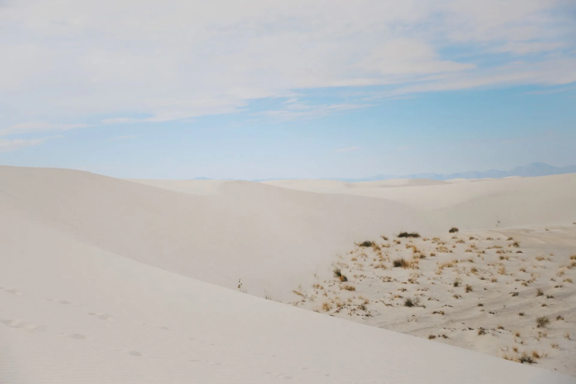
Sand starts as small piles near Lake Lucero, where dome dunes form, small, rounded, and the fastest movers in the whole field, migrating at something like four times the average rate. Prevailing southwest winds push everything northeast from there. Where sand supply is more limited, barchan dunes form, crescent-shaped and thickest at the center; where supply is abundant, transverse dunes take over, lining up in tall parallel ridges. Both dominate the field's interior. Out along the trailing edges, where vegetation gets enough of a foothold to slow things down, parabolic dunes form, U-shaped and anchored by plant roots on their arms, the slowest movers in the field at roughly two to eight feet a year.
- Total gypsum dune field 275 SQ MI
- Inside the national park ~115 SQ MI (~42%)
- Average migration rate ~10 FT/YEAR
- Fastest dune type DOME, ~4X AVERAGE
It's Not Close
The National Park Service's own comparison ranks the three biggest gypsum dune fields anywhere, and all three happen to sit in the Chihuahuan Desert: White Sands first at 275 square miles, Mexico's Cuatro Ciénegas second, and Guadalupe Mountains National Park in Texas a distant third at roughly three square miles. That makes White Sands something like ninety times the size of the field holding third place, not a marginal record but a genuinely enormous gap. Only around 115 of those 275 square miles sit inside the national park itself; the rest lies within the surrounding White Sands Missile Range, off-limits to the public but still part of the same continuous field of dunes.
Facts and figures checked against the National Park Service's Lake Lucero brochure and geology pages, and reporting in New Mexico Magazine citing park and university geologist sourcing for dune types and migration rates. The 275-square-mile total field figure and the Chihuahuan Desert comparison ranking are both NPS-sourced. Migration-rate figures (roughly 10 feet per year on average, with dome dunes fastest and parabolic dunes slowest at 2 to 8 feet per year) come from New Mexico Magazine's reporting rather than a single NPS-stated annual figure, since NPS's own materials describe movement qualitatively rather than with a precise yearly rate.
The lake that built all of this has been gone for twelve thousand years, but the process it started never actually stopped. Every storm that refills Lake Lucero grows a new crop of selenite crystals, and every windy afternoon grinds a few more of them down into sand, pushing the field's dunes another few feet northeast, the same slow machine that's been running since before anyone walked across this basin at all.