
There's no whitewater on Cedar Creek. What there is, is a tannin-dark stream threading between trees tall enough to make the water feel narrow by comparison.
Fifteen Miles From Bannister's Bridge to the River
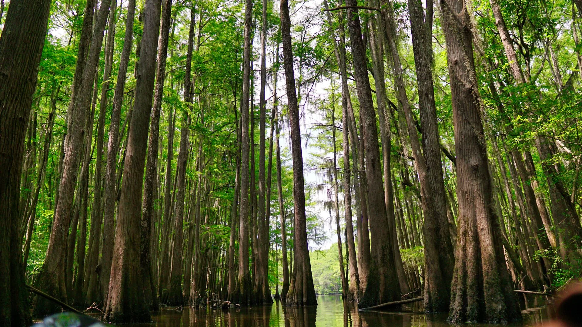
The National Park Service's own trip-planning materials list the marked Cedar Creek Canoe Trail at 15 miles, running from Bannister's Bridge down to Cedar Creek's confluence with the Congaree River. Some third-party trail sites list shorter figures, in the range of roughly 12 to 13 miles, for a Cedar Creek Landing launch further downstream, so the total distance really depends on which access point a paddler starts from rather than one fixed number for the whole trail.
What doesn't change with the launch point is the character of the water: a narrow, tannin-stained creek that widens as it moves downstream, running beneath one of the tallest intact deciduous forest canopies left in North America. Bald cypress and loblolly pine rise directly out of the water in places, and the route passes near Wise Lake, an oxbow cut off from the main channel that's only reachable by water when levels are high enough to connect it back to the creek.
Plan Your Congaree Visit
Bannister's Bridge and Cedar Creek Landing are the trail's two main access points, with different distances to the river.
Open the Trip PlannerWater Levels Change What the Trail Looks Like
Cedar Creek runs through a floodplain forest, which means the trail itself changes shape with the water. The National Park Service advises checking its Canoe Trail Conditions update before heading out, since downed logs and strainers across the creek are common and can block or complicate a route that was clear a week earlier. In flood conditions, the creek can rise out of its banks entirely and spread into the surrounding floodplain, at which point the trail's usual blazes and navigation markers can end up underwater, making the route considerably harder to follow.
None of that makes the trail unusually dangerous under normal conditions, it's a flat, slow-moving paddle most of the year. It does mean this isn't a route to launch on without checking the park's own conditions page first, since "normal" and "flooded" can look very different from the same put-in.
- NPS marked distance 15 MI, BANNISTER'S BRIDGE TO CONFLUENCE
- Shorter alternate figure (third-party) ~12-13 MI FROM CEDAR CREEK LANDING
- Notable landmark WISE LAKE (OXBOW, HIGH-WATER ACCESS ONLY)
- Before launching CHECK NPS CANOE TRAIL CONDITIONS PAGE
The 15-mile Bannister's Bridge-to-confluence distance checked against the National Park Service's own trip-ideas page for Congaree. Shorter third-party mileage figures for the Cedar Creek Landing access point are noted as trailhead-dependent variation rather than a contradiction of the NPS figure. Guidance on downed logs, strainers, and flood-related navigation hazards checked against the same NPS source, which recommends checking current Canoe Trail Conditions before departure.
Most river trips in the eastern United States run through forest that's been cut at least once, sometimes several times, in the last two centuries. Cedar Creek doesn't. The canopy overhead on this paddle is close to what stood here before anyone measured it, and the fifteen miles of water underneath it are less a route between two points than a slow pass through the tallest room left standing east of the Rockies.