
Every year, researchers hike out to South Cascade Glacier and read the same stakes drilled into the ice, a measurement that has been taken every year since the mid-1950s, one of the longest continuous glacier records in North America. What they're watching shrink is part of the single largest concentration of glacial ice left in the contiguous United States.
A Third of the Lower 48's Ice, In One Park
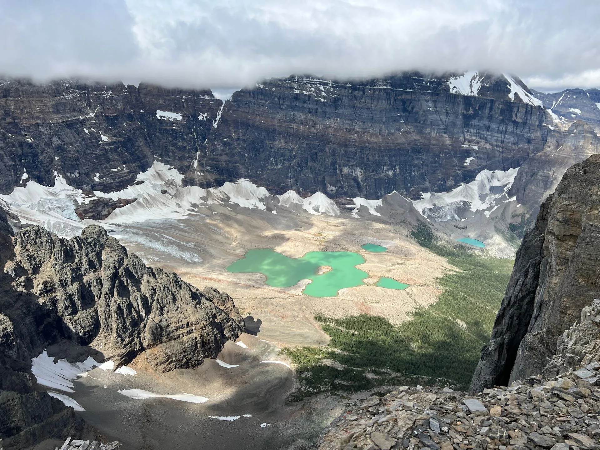
North Cascades National Park Service Complex holds 312 glaciers, more than any other national park in the Lower 48 and enough to make this the most heavily glaciated area in the United States outside Alaska. Roughly a third of every glacier remaining in the contiguous United States sits inside this one park, packed into a landscape with more than 9,000 feet of vertical relief, less than three hours from downtown Seattle.
That ice isn't just scenery. It feeds the Skagit River, the largest watershed draining into Puget Sound, supplying somewhere between 6 and 12 percent of the river's summer flow. Salmon and the rest of the aquatic food chain downstream depend on that cold water arriving on schedule, every summer, whether or not anyone driving past on the highway ever thinks about where it came from.
- Glaciers 312 · ~1/3 OF ALL GLACIERS IN THE LOWER 48
- Ranking MOST HEAVILY GLACIATED AREA IN THE U.S. OUTSIDE ALASKA
- Relief 9,000+ FT OF VERTICAL RELIEF
- Watershed FEEDS THE SKAGIT RIVER, PUGET SOUND'S LARGEST
Plan a Trip Along the North Cascades Highway
Diablo Lake Overlook puts you within sight of glaciated peaks without a single mile of trail.
Open the Trip PlannerThe Ice Is Disappearing, and Scientists Have Been Watching It Happen
The National Park Service began formally monitoring North Cascades glaciers in 1993, tracking Noisy Creek, Silver Creek, North Klawatti, and, starting in 1995, Sandalee Glacier. South Cascade Glacier has an even longer record, monitored by the U.S. Geological Survey since the mid-1950s, making it one of the longest continuously studied glaciers in North America. Every glacier in the program is retreating. Since the late 1800s, the park has lost approximately 56 percent of its total ice cover, a decline scientists attribute to less winter precipitation and warmer summers.
Comparative photographs of Banded Glacier taken in 1960 and again in 2016 show the retreat in a single glance, no measurement required.
The Skagit River watershed has already seen a 25 percent reduction in summer streamflow since 1959. As the glaciers keep shrinking, researchers expect that decline to continue, changing conditions for salmon and everything else downstream that depends on cold water arriving reliably each summer.
- Monitoring since 1993 (NPS) · MID-1950S (USGS, SOUTH CASCADE GLACIER)
- Ice cover lost ~56% SINCE THE LATE 1800S
- Status EVERY MONITORED GLACIER IS RETREATING
- Skagit summer streamflow DOWN 25% SINCE 1959
Glacier count, ranking, park relief, and Skagit River runoff figures checked against the National Park Service's official Glaciers / Glacial Features page and park overview page for North Cascades. Monitoring program history, monitored glaciers, ice cover loss, and streamflow decline checked against NPS's official Glacier Monitoring Program page.
The researcher still walks out to South Cascade Glacier most summers, drills a new stake or reads an old one, and adds one more data point to a record that started before most of today's visitors were born. It's a small, patient act performed at the edge of something enormous: a third of the Lower 48's remaining glacial ice, retreating a little more every year, measured one stake at a time by people who show up anyway.